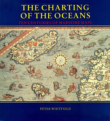
Charting of the oceans
ten centuries of maritime maps
Charting of the oceans
ten centuries of maritime maps
- Disponibile in 7 giorni
- Possibilità di reso entro 10 giorni lavorativi
- Transazione sicura con carta di credito, Paypal o bonifico bancario
- Spedizione tracciata con SDA
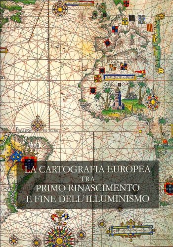
Peter Whitfield's The Charting Of The Oceans: Ten Centuries Of Maritime Maps traces the history of maritime and nautical charts, not as technical documents but as eloquent witnesses to the discovery of the world beyond Europe, and to man's evolving knowledge of the oceans. These charts employed a vivid artistic idiom which expressed man's passionate feeling for the sea: the gilded compasses, the nightmarish sea-=creatures, the stately ships, the royal crests -- all these were fused into a minor art-form which flourished for four centuries. Superbly illustrated, The Charting Of The Oceans presents some of the riches of Europe's maritime and nautical chart traditions, together with an absorbing narrative summarizing the vital role of sea-power in European history. The nautical charts of today are impersonal technical documents designed for navigation at sea; but behind these austere modern charts lie centuries of exploration and conflict, science and imagination.

