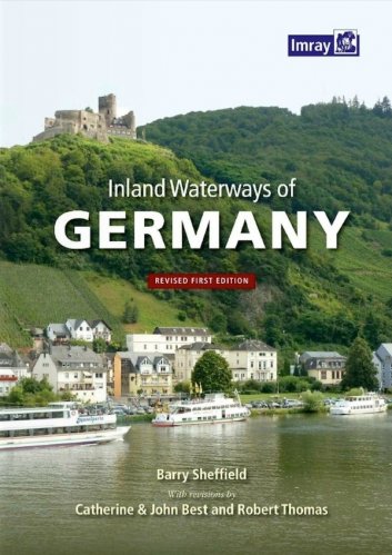
This is the only comprehensive directory to the entire navigable German waterway system available in English. After a general introduction to the area, details of German formalities and cruising notes, each river and canal is described in detail and supported by a table of distances indicating locks, bridges, mooring places and other features. The text is supported by small scale mapping and colour photographs. Barry Sheffield’s first edition of this book was published in 1995 shortly after the reunification of Germany. He had spent several years exploring the navigable waterways and, with the assistance of Konrad Nussbaum, the acknowledged expert on German rivers and canals, he produced this authoritative work on the subject. Barry Sheffield died some years ago and this revised edition has been produced as a result of many contributions from users of the original book. Catherine and John Best have completely recompiled many of the original tables, brought information up to date and supplied excellent new photographs. Robert Thomas has contributed a more general update, in particular to the introductory sections.
Data pubblicazione
23/09/2016

