Islands of the Venetian Lagoon
Aerial Guide
Islands of the Venetian Lagoon
Aerial Guide
- Disponibile in 7 giorni
- Possibilità di reso entro 10 giorni lavorativi
- Transazione sicura con carta di credito, Paypal o bonifico bancario
- Spedizione tracciata con SDA
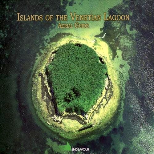
This is the fourth book in the series "Guide fotografiche aeree" (Aerial Photography Guides). The pictures were mainly taken from airplanes and helicopters. This enables an overall view of the sites that is generally impossible with traditional photography from the ground. Each picture is associated with a map derived from the Milva site. The comment to each individual image is, instead, for the most part, drawn from web sites, creating a computerized anthology that provides more widespread consultation and greater user information. The idea of conceiving this new type of territorial guide derives from the consideration that the tour guides currently available offer images which are not very meaningful in describing the sites. Likewise, books of photographs are a collection of images which are often truly splendid but which are not greatly related to the territory. In brief, the book provides a geo-photographic map with the most meaningful information and, thanks to the internet, in a form which allows for practically unlimited consultation. - "Per ragioni di lavoro ho volato molte volte sulla Laguna, ma è stato dopo aver pubblicato le guide sul Delta del Po e sul Molise che abbiamo deciso, forse imprudentemente, di accettare la sfida di una pubblicazione sulla Laguna che è una realtà assai nota e celebrata. Le frecce al nostro arco sono state il volo ed il modo nuovo di concepire una guida assicurando un giusto equilibrio fra testo e fotografia e dando pure al lettore un'informazione sulla posizione geografica dei vari luoghi. Una carta geografica, che è stata la prima e la più sintetica guida dei luoghi, altro non è che una visione aerea, ma simbolica, del territorio. Ai simboli abbiamo sostituito le immagini ed abbiamo aggiunto le notizie che ci sono sembrate utili. Come già messo in pratica nelle Guide precedenti abbiamo attinto dalla rete le informazioni necessarie. La nostra 'bibliografia elettronica' è riportata nel volume, allargata a siti che sono stati consultati, ma da cui non abbiamo attinto direttamente. La cartografia è stata curata da Diego Tiozzo Netti il cui sito web MILVa Mappa interattiva della Laguna di Venezia è stata l'occasione che ci ha fatto incontrare." Arturo Colamussi

