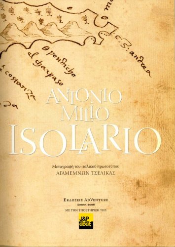
Isolario
the mediterranean isles in the 16th century
Isolario
the mediterranean isles in the 16th century
- Disponibile in 7 giorni
- Possibilità di reso entro 10 giorni lavorativi
- Transazione sicura con carta di credito, Paypal o bonifico bancario
- Spedizione tracciata con SDA
Antonio Millo, a Greek sailor, then Admiral, and cartographer from the island of Melos, created several isolarios, or island books illustrated with maps, at the end of the sixteenth century. This handsome book is the first publication of Millo’s Isolario, which previously could only be consulted in the manuscript departments of a few libraries. The edition is based on the manuscript of Millo’s Isolario, dating to 1582. In addition to including colour reproductions of all of Millo’s beautiful maps and a transcription of his Italian text, the book also provides Greek and English translations of the text, making his work accessible to a wide audience. Introductory material about Millo and his Isolario and a full index are also supplied. This book will interest everyone who is passionate about Mediterranean and its islands, and also historians of cartography and historical geographers.

