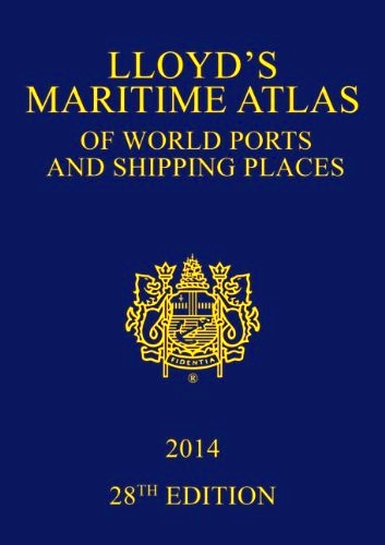
Lloyd's maritime atlas of world
ports and shipping places
Lloyd's maritime atlas of world
ports and shipping places
- Non disponibile, richiedi informazioni sulla disponibilità
- Possibilità di reso entro 10 giorni lavorativi
- Transazione sicura con carta di credito, Paypal o bonifico bancario
- Spedizione tracciata con SDA
28th ed. Features full-colour world, ocean, regional, port, and detailed inset maps for locating the world’s ports and shipping places. Also includes major canal and river systems, major road, rail, and airport links serving the ports, weather hazards at sea, and international load line zones. Designed to link directly with LLoyd’s List Ports of the World. Includes CD-ROM. New to the 2014 edition is a world map indicating where MARPOL, SECA and PSSA regulations are in force.

