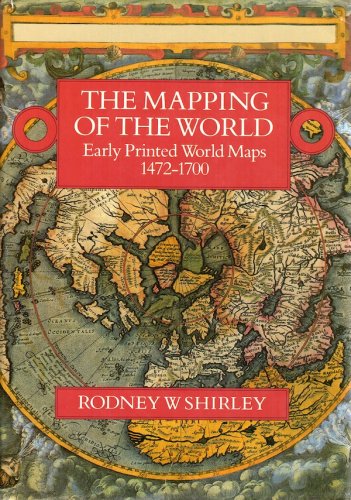
Mapping of the world
early printed world maps 1472-1700
Mapping of the world
early printed world maps 1472-1700
- Disponibile in 48 ore
- Possibilità di reso entro 10 giorni lavorativi
- Transazione sicura con carta di credito, Paypal o bonifico bancario
- Spedizione tracciata con SDA
OId maps have always played a dominant role in the devclopment of geographical thought, providing a means of communication by visual display which has guaranteed the dissemination of new geographical conceptions in the most adeguate and graphic way. Printed maps have been for the development of geography and cartography as revolutionary in their cultural and educational effect as the parallel but more widely acclaimed invention of printing from moveable type. PainstakingIy compiled, Rodney Shirley's important new cartbibliographical study illustrates how the printed world map developed from the earliest years of printing in the 1470s up to the turn of the seventeenth century. It would be hard to imagine a better companion for map lovers than this richly illustrated work, a voIume to enhance our understanding of this fascinating subject, and in doing so greatly increase our appreciation of the maps themselves.

