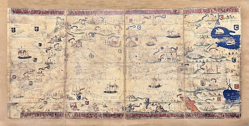
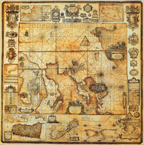
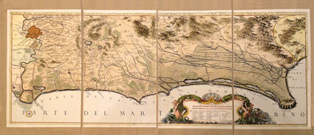
Mar Mediterraneo 1519
riproduzione su tela anticata cm.88x45
Mar Mediterraneo 1519
riproduzione su tela anticata cm.88x45
- Disponibile in 7 giorni
- Possibilità di reso entro 10 giorni lavorativi
- Transazione sicura con carta di credito, Paypal o bonifico bancario
- Spedizione tracciata con SDA
La mappa qui presentata proviene dal Miller Atlas nelle collezioni della Biblioteca Nazionale di Francia. Prodotto per il re Manuele I del Portogallo nel 1519 dai cartografi Pedro Reinel, suo figlio Jorge Reinel e Lopo Homem e dal miniaturista António de Holanda, l'atlante contiene otto mappe su sei fogli sciolti, dipinti su entrambi i lati. Questa mappa (foglio 6 verso nell'atlante) mostra il Mar Mediterraneo. - The map presented here comes from the Miller Atlas in the collections of the National Library of France. Produced for King Manuel I of Portugal in 1519 by cartographers Pedro Reinel, his son Jorge Reinel and Lopo Homem and miniaturist António de Holanda, the atlas contains eight maps on six loose sheets, painted on both sides. This map (page 6 in the atlas) shows the Mediterranean Sea.
Autore
Ean / Isbn
615000000039

