Ortelius atlas maps
an illustrated guide
Ortelius atlas maps
an illustrated guide
- Disponibile in 7 giorni
- Possibilità di reso entro 10 giorni lavorativi
- Transazione sicura con carta di credito, Paypal o bonifico bancario
- Spedizione tracciata con SDA
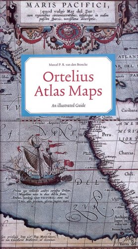
This book provides information on the maps which were included in the first regular atlas that ever appeared, Ortelius' Theatrum Orbis Terrarum. This atlas appeared first in 1570, and went through numerous editions. Its content was updated and expanded. It grew trom 53 to 166 maps. The atlas was the most expensive book of the 16th century, but in spite of that a bestseller, and more than 7000 copies ofit were ptinted. This illustrates its importance in the history of cartography, a fact recognised by Ortelius' contemporaries as well as by map collectors and histotians today. The book is a guide that provides information on the occurrence of each map in various atlas editions, thus allowing the reader to determine trom which edition a loose map derives. It also provides information on the various states that most maps went through, and gives their cartographical sources. An illustration opens the description of each map. Many new maps have been identified by the author, and are described here for the first time. The guide opens with a short biography on Ortelius, and a survey of the editions ofhis atlas, and is concluded by indexes that help to accomplish quick map identification. This book is indispensible for anyone who wants to know details about Ortelius' maps as they occur in his atlas.

