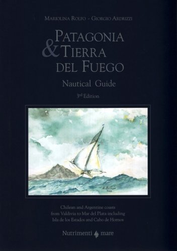
Patagonia & Tierra del Fuego
nautical guide Chilean and Argentine coasts from Valdivia to Mar del Plata including Isla de los Estados and Cabo de Hornos
Patagonia & Tierra del Fuego
nautical guide Chilean and Argentine coasts from Valdivia to Mar del Plata including Isla de los Estados and Cabo de Hornos
Rolfo Mariolina, Giorgio Ardrizzi
- Disponibile in 7 giorni
- Possibilità di reso entro 10 giorni lavorativi
- Transazione sicura con carta di credito, Paypal o bonifico bancario
- Spedizione tracciata con SDA
This pilot guide, now at its third edition, aims to report the local conditions and knowledge with the greatest accuracy, in order that these 2,400 miles of water can be navigated safely. The work is divided into two sections. The first section contains subjects of general interest such as flora, fauna, geology, history and heritage. The second part is strictly nautical and is the result of sixteen years experience in sailing these waters. The authors have selected and personally tested over 400 anchorages – all noted with accurate descriptions and drawings so as to provide the necessary information for a safe navigation. Moreover, this section is improved by the inclusion of notes regarding meteorology, radio frequencies, yacht preparation, rules of navigating and information about Chile and Argentina. The pilot guide includes: – 443 items with anchorages, coves and harbours – 451 general and detailed charts – 107 drawings – 93 colour prints and 93 b&w prints. Questo portolano, in lingua inglese, documenta in modo approfondito le 2.400 miglia di costa che dividono Valdivia (Cile) da Mar de Plata (Argentina), offrendo tutte le informazioni necessarie a una navigazione piacevole e sicura. La prima parte (150 pagine) è dedicata ad argomenti di carattere generale, tra cui storia, geologia, flora, fauna, antichi abitanti. La seconda parte è stata compilata grazie all'esperienza accumulata durante 11 anni d’intensa navigazione in queste acque da parte degli autori, che hanno sperimentato e selezionato personalmente oltre 400 ancoraggi, documentandoli accuratamente con schede e disegni. Integrano la parte nautica: informazioni meteorologiche, frequenze radio, consigli sulla preparazione di uno yacht, sulla normativa, oltre ad informazioni pratiche su Cile e Argentina. Con 433 ancoraggi, 451 carte, 107 disegni e foto antiche, 93 foto a colori e 93 in bianco e nero.
Autore
Ean / Isbn
978886594431
Pagine
720
Data pubblicazione
01/12/2015

