Sailing across the world's oceans
History & catalogue of Dutch charts printed on Vellum 1580-1725
Sailing across the world's oceans
History & catalogue of Dutch charts printed on Vellum 1580-1725
- Disponibile in 7 giorni
- Possibilità di reso entro 10 giorni lavorativi
- Transazione sicura con carta di credito, Paypal o bonifico bancario
- Spedizione tracciata con SDA
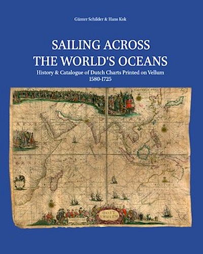
After covering the Dutch VOC manuscript charts on vellum in Sailing for the East (ESHC 10, 2010), the printed charts on vellum by commercial Amsterdam chart-publishers cried out for scrutiny as well. Sailing Across the World’s Oceans discusses these rare remaining charts, of which some 150 copies could be traced, mostly kept in international institutions. Their titles run from Europe to Indian Ocean and Atlantic Ocean, the latter commonly called West-Indische Paskaerten. The charts are described and analysed in an illustrated cartobibliography. The extensive introduction investigates the development of Amsterdam as a recognized centre for map production and distribution in Europe. It also discusses navigation techniques used in the sixteenth and seventeenth centuries. The developing world image is considered, as it may be derived from Dutch contributions. This book delivers insight into chart-making history that has not been available before.

