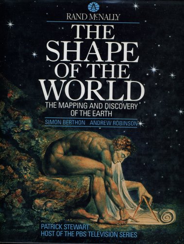
Shape of the world
the mapping and discovery of the earth
Shape of the world
the mapping and discovery of the earth
Berthon Simon, Robinson Andrew
- Disponibile in 48 ore
- Possibilità di reso entro 10 giorni lavorativi
- Transazione sicura con carta di credito, Paypal o bonifico bancario
- Spedizione tracciata con SDA
For thousands of years, the shape of the world - and even of its continents, oceans, and islands - was a matter of speculation for mapmakers, mathematicians and mystics. The Shape of the World is a beautifully illustrated and comprehensive companion volume to the six-part PBS television series that tells the epic story of the exploration, measurement, and mapping of planet earth. It will bring delight to both the mind and the eye as this history unfolds before us. In centuries past, some thought the world was flat, or rested on the back of a turtle; for others, earth was a perfect sphere locked tightly into the heart of other spheres. But its true shape remained unseen by human eyes until Christmas, 1968, when the astronauts of Apollo 8 left the earth's gravity to circumnavigate the moon. Then, planet earth became known to us all: a ghostly sphere with luminous green bands, with indigo seas and veiled by swirling bands of clouds. How did we move from the first crude maps to the indelible proof of the space shot? That is the subject of The Shape of the World. It is a story of courage and endeavor on the grandest scale: of sailors such as Columbus and Magellan who crossed unknown oceans; of soldiers like George Everest who hacked his way through Indian jungle to the foot of the world's highest mountains; of explorers like Lewis and Clark. It is a history of mapmaking and scientific invention drawn from many ages and countries - from Pythagoras and Ptolemy to Galileo, Newton and the scientists of NASA. It is an epic of human ingenuity, revealing how the discoveries of craftsmen and explorers were linked, and how, for example, the invention of the marine chronometer by the clockmaker John Harrison enabled Captain Cook to map the Pacific. The Shape of the World is also a history of the mapping of our planet. Many of the maps reproduced here are works of superlative art and craftsmanship, but there is a dark side to their beauty as well. Where maps were once an inspiration, promising new lands and new prosperity to their jealous owners, now they chart our anxieties. The cartography of the computer records the erosion of the Sahel, the annihilation of the Amazon rain forest, the shrinking of the Aral Sea and of the fragile strands of America's barrier islands. Maps are no longer the private property of mariners, princes, generals, or even governments. The information they provide is too valuable. In the closing years of this century, accurate and universal knowledge of the shape of the world has become crucial to human survival.
Autore
Ean / Isbn
978052883419
Pagine
192
Data pubblicazione
01/01/1991

