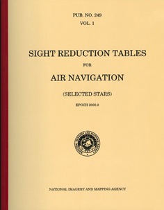
Sight reduction tables for air navigation HO249 vol.3
Latitude 38°-89° declinations 0°-28°
Sight reduction tables for air navigation HO249 vol.3
Latitude 38°-89° declinations 0°-28°
- Non disponibile, richiedi informazioni sulla disponibilità
- Possibilità di reso entro 10 giorni lavorativi
- Transazione sicura con carta di credito, Paypal o bonifico bancario
- Spedizione tracciata con SDA
The Sight Reduction Tables for Air Navigation are published in three separate volumes. Volumes II and III cover latitudes 0°-40° and 39°-89° respectively and are primarily used by the air navigator in conjunction with observations of celestial bodies to calculate the geographic position of the observer. A Marine Navigation Calculator function is also available on the NGA Website, which performs many of the navigational computations derived from data found within these publications' tables.

